CBS 2 News
With the exception of the snow we had last Thursday, the Treasure Valley has been in a three week dry spell. This is not good when we depend on the winter snowpack to keep us going through the scorching summer months.
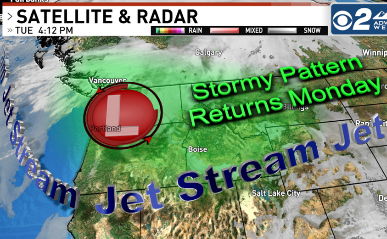
For the second day in a row, computer models are suggesting that a pattern change will occur next Monday. The persistent high pressure is expected to weaken and move east. This will allow a trough of low pressure to slide in from the northwest! Not just that, but it has additional fronts moving in through next week. In the world of weather, forecasting that far down the road is often a shot in the dark. But, each day that goes by and the pattern suggests this change, then confidence will go up.
For now, high pressure will hold on through the weekend. That means we’ll continue to see a mixture of sun and low clouds with colder than normal temperatures. Highs will remain about 5-10 degrees below the average through the weekend. If the fronts move in next week, this will allow temperatures to warm up as the approaching storms help to break the inversion cycle.


